Ecology studies the relationship between the environment and its organisms. There are a variety of methods for interpreting ecology but when it comes to determining the ecological state of an environment, technology plays a crucial role and can provide critical data for the ecological analysis of an area. This data could be vital to the conservation and management of said environment, therefore the pressure for new methods and techniques to measure the ecological state of certain environments is constantly evolving. By measuring the ecological state of an environment, we gain knowledge into things like degradation, or through a more anthropogenic lens, gain insight into the human impact upon an environment.
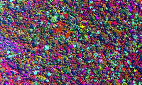
Recently, the Amazon has been an environment tested by new technological that hopes to provide new ecological information for conservation efforts in what it is an environment known for its resources as well as being on the front page of conservation news for many years. Using a machine called a Lidar (Light Detection and Ranging), tropical ecologist Greg Asner and his team mapped out an area of Peru by shooting lasers 400,000 times per second to create a 3D map of the rainforest from above.
While showing the immense biodiversity of various regions of the Amazon, the Lidar is capable of monitoring the degradation and deforestation of the mapped region. That data could be particularly useful to United Nations' REDD (Reducing Emissions of Deforestation and Forest Degradation), the soon-to-be biggest funding for Amazon conservation.
Here is a link to the article and a video of the 3D mapping:
No comments:
Post a Comment